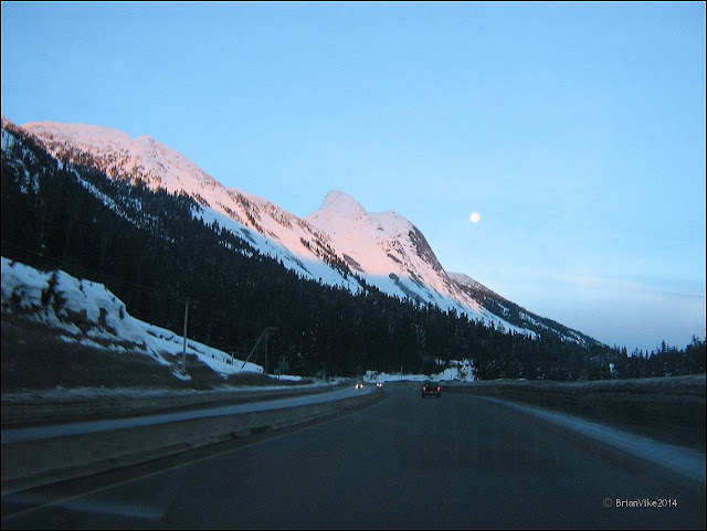
Highway 5 is a 524 km (326 mi) north-south route in southern British Columbia, Canada. Highway 5 connects the southern Trans-Canada route (Highway 1) with the northern Yellowhead route (Highway 16), providing the shortest land connection between Vancouver and Edmonton.
A portion of Highway 5 south of Kamloops is also known as the Coquihalla Highway, the northern portion is known as the Southern Yellowhead Highway.
The Coquihalla section was a toll road until 2008.
Source Information From Wikipedia, the free encyclopedia. https://en.wikipedia.org/wiki/British_Columbia_Highway_5
Below Photos: I have added 5 pictures when we were traveling down to my Dad's 90th Birthday in Langley, B.C.. There was my wife, my daughter, son-in-law and my two wonderful grandchildren.
I certainly will take this route again, but this time making lots of stops to take a bunch of photos. The Coquihalla Highway scenery is some of the most beautiful I have seen in the province.
Below Photo: In this picture you can see one of the roadside washrooms, but with a lot of snow piled on top of the roof.
Below Photo: Late the next day after my Dad’s Birthday, we started our drive back to my Daughters home in Kamloops. The daylight was fading, but I tried to take a photo of the mountains, and the moon was in the shot.
If you have a picture you would like to share on this page from around Houston, please contact me at b_vike@telus.net


No comments:
Post a Comment